Quick Reference (According to Apple Watch SE):
The following information was recorded on Apple Watch SE on July 31, 2021 during our journey to Verdant Pass, which included water and nutrition breaks, pauses for photo-ops, exploration and lunch in the alpine meadow:
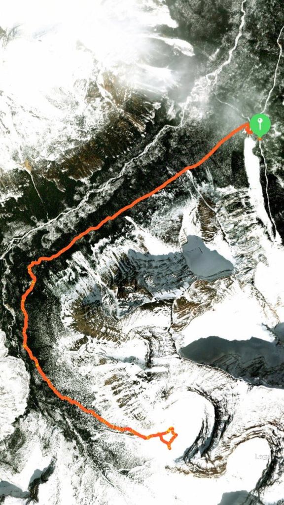
Total Time: 7:11:41 (6:59am to 2:09pm)
Distance: 20.59 km
Elevation Gain: 662 m
Minimum Elevation: 1587 m
Maximum Elevation: 2281 m
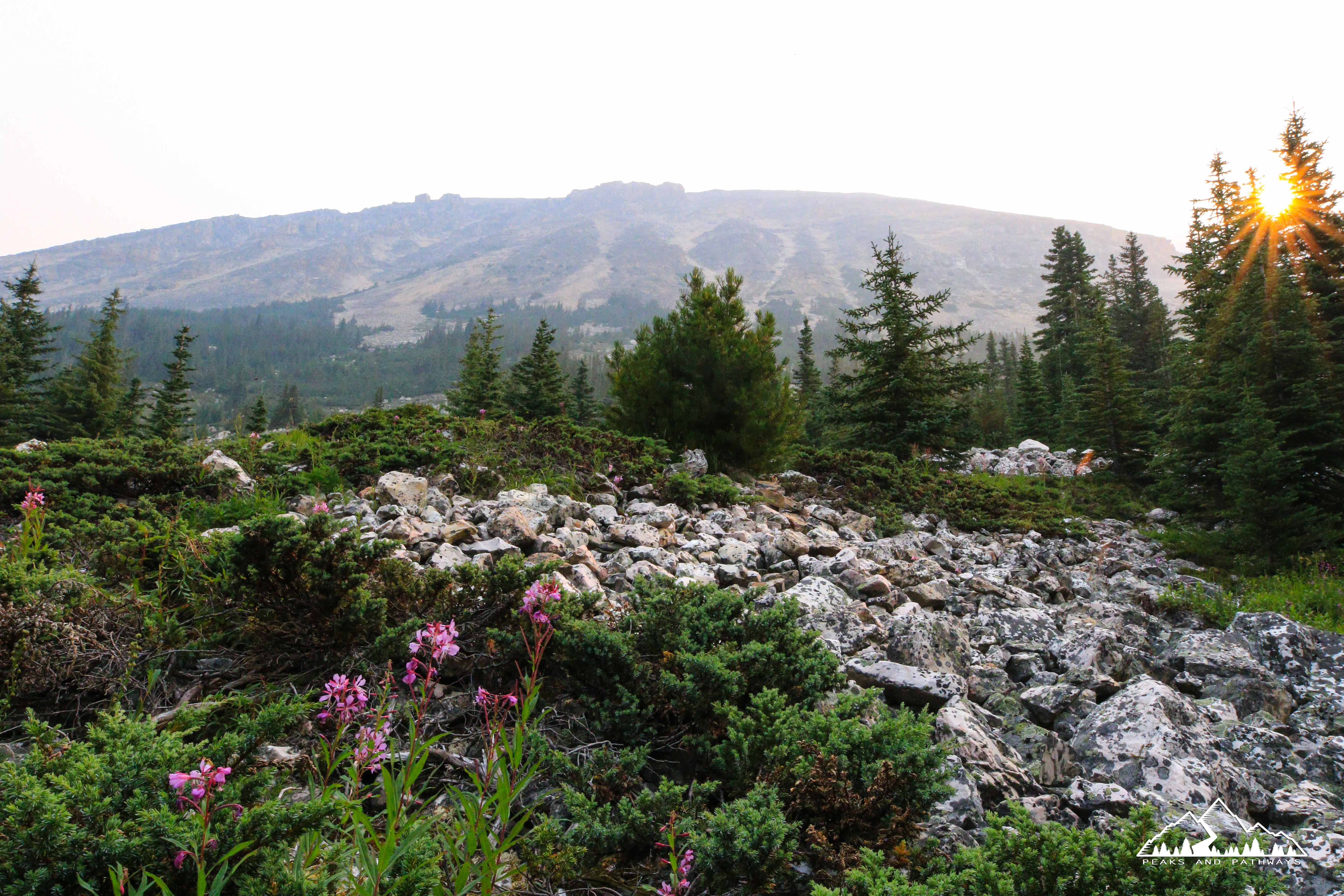
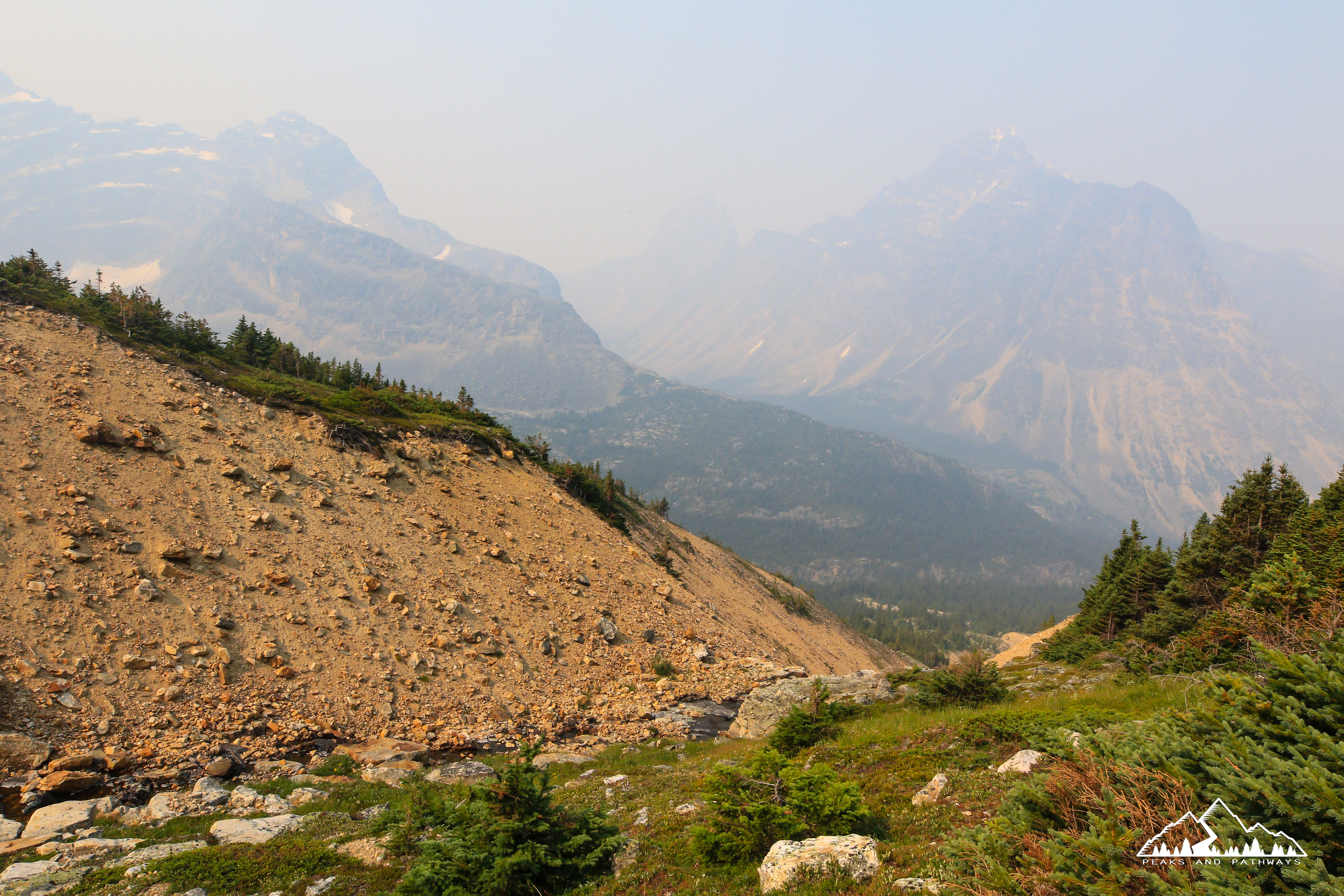
Though not included on official park signage, the trail to Verdant Pass in Jasper National Park may just be one of the best treks the park has to offer. This can be attributed to the extraordinary views, a beautiful alpine meadow alongside a natural Rocky Mountain amphitheatre, and the sense of adventure that comes with ‘getting off the beaten path’ on to a lightly trekked, unmaintained trail (that is still easy to navigate).
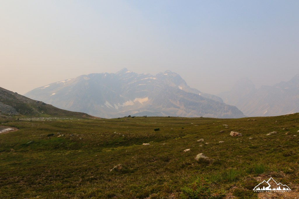
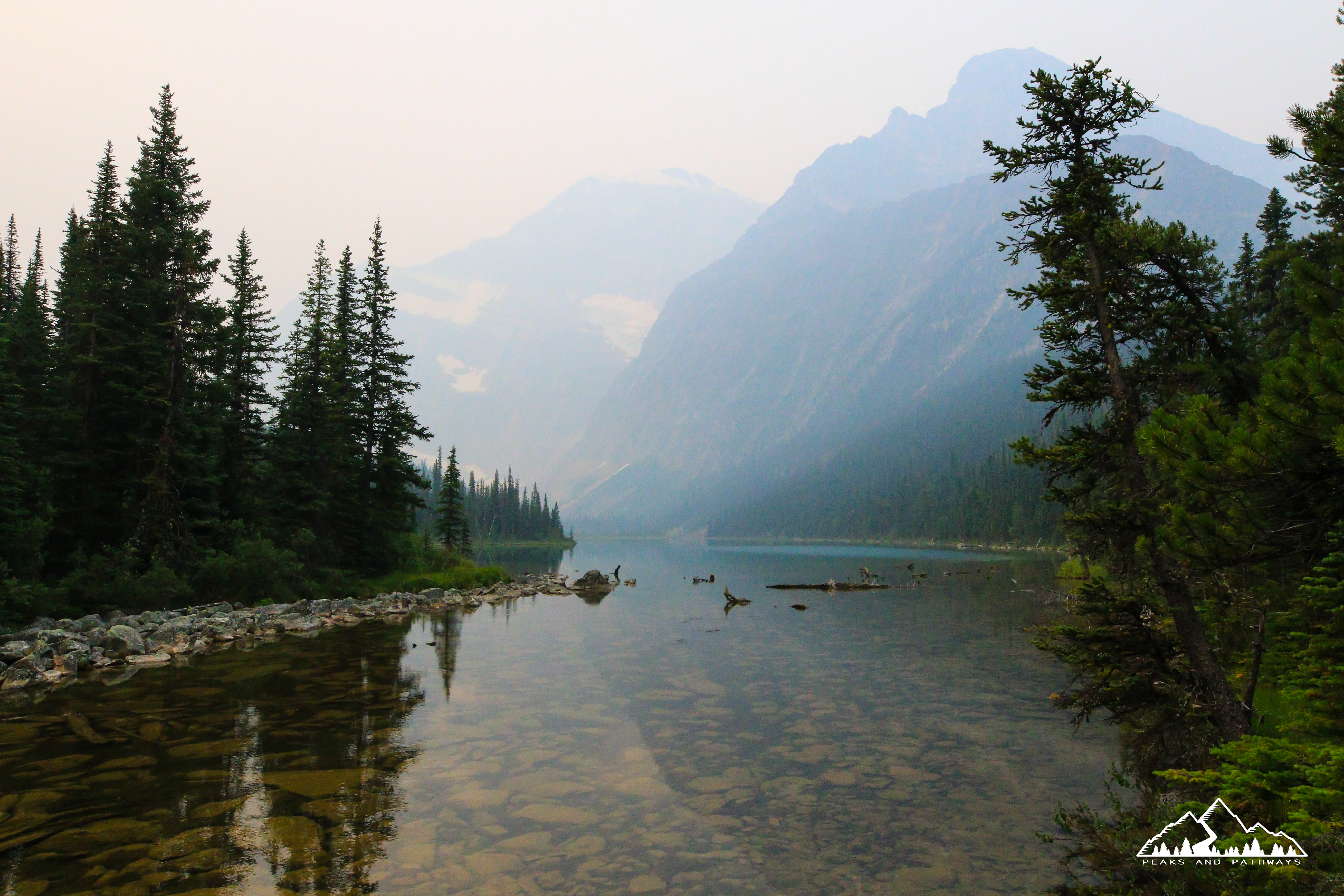
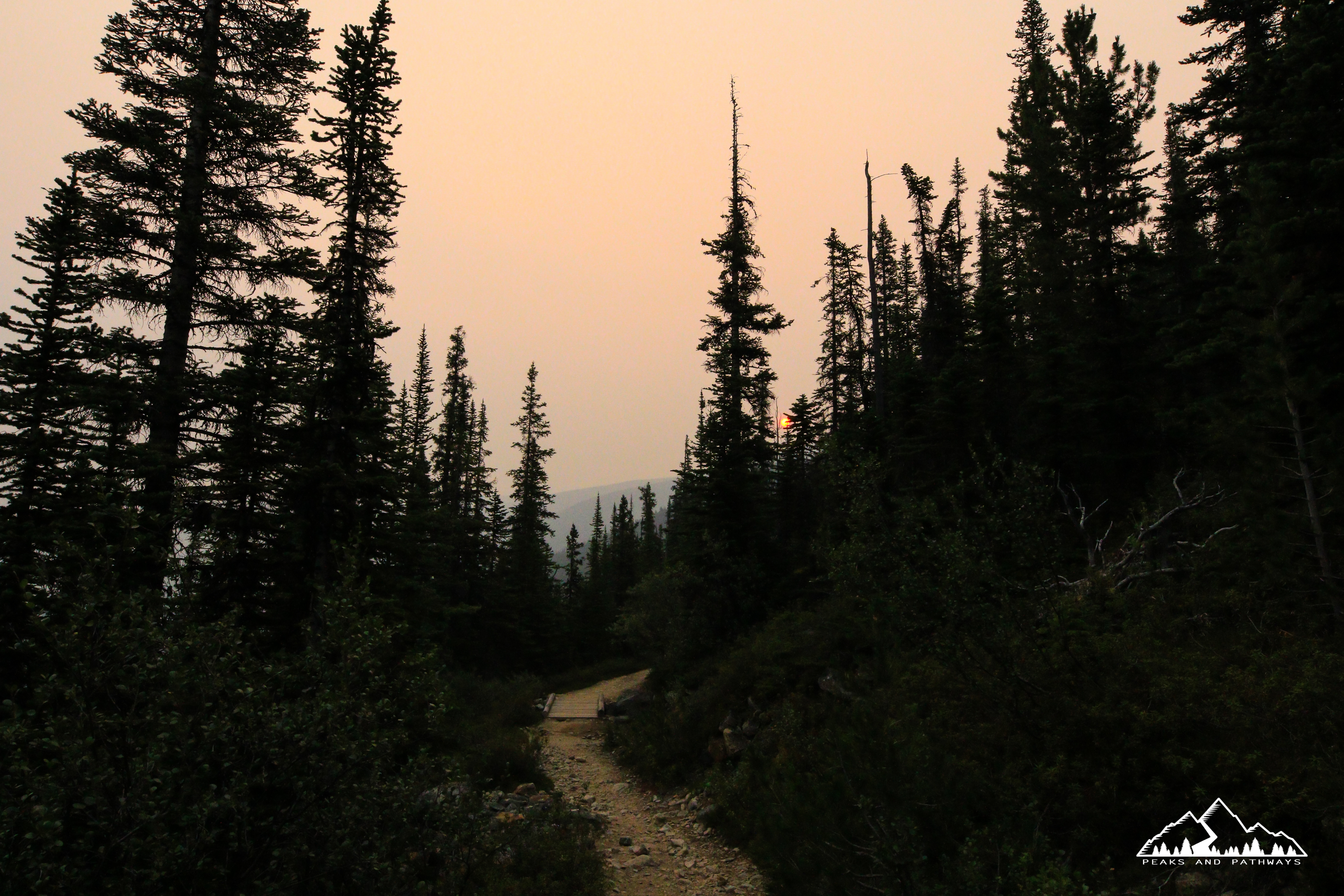
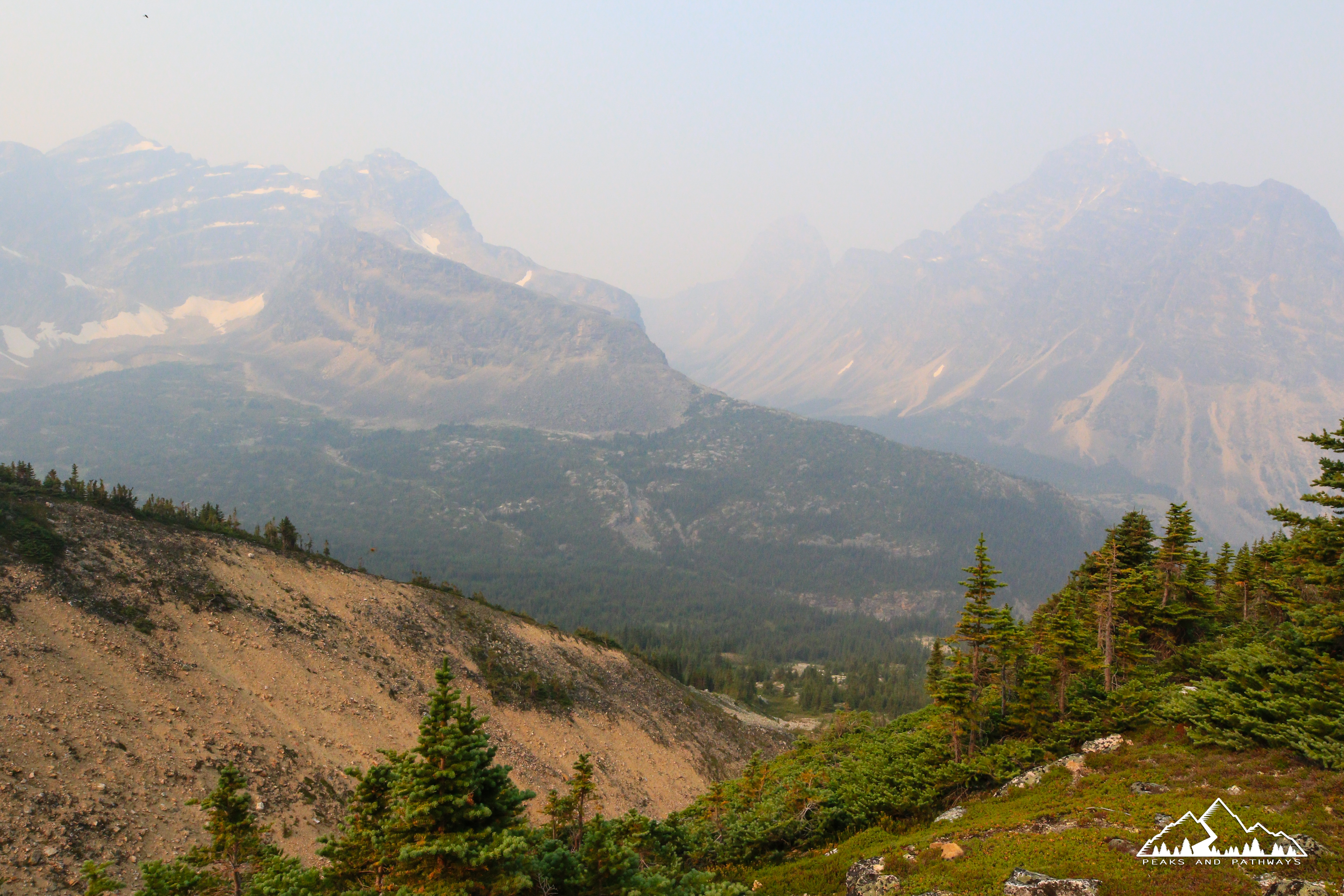
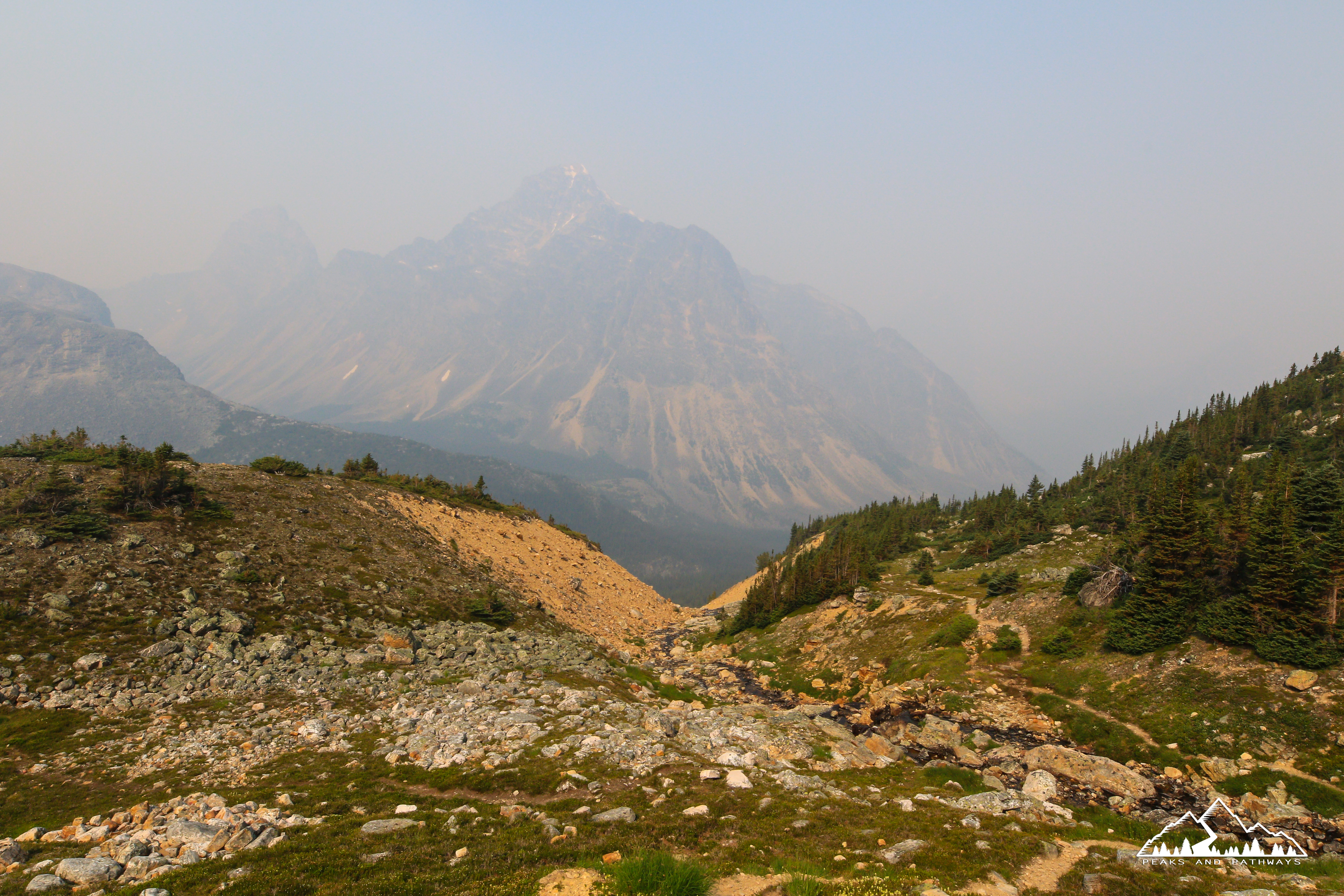
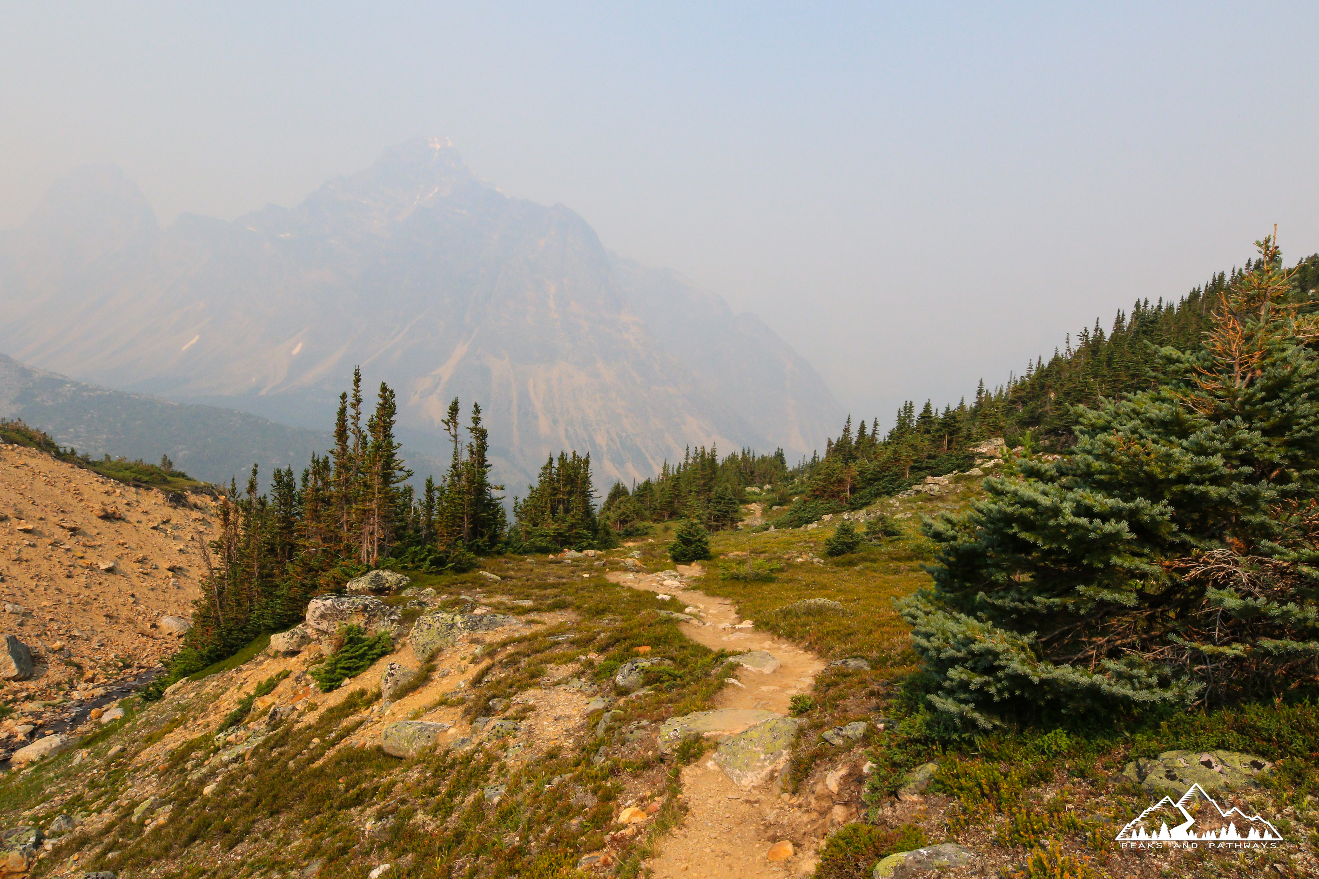
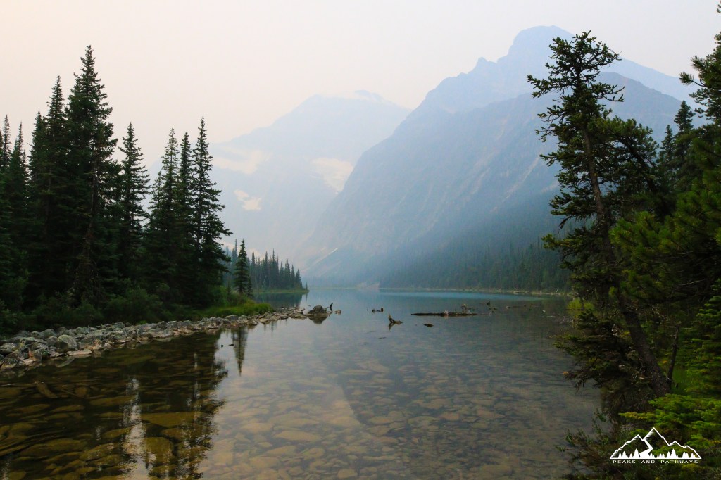
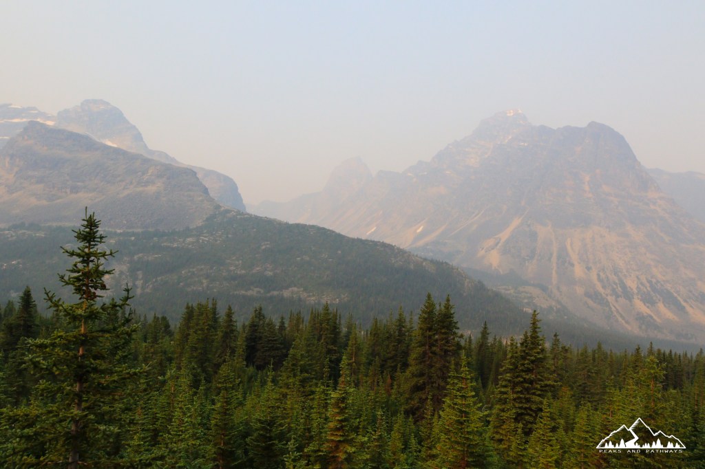
We took on Verdant Pass on Saturday July 31, 2021 approaching the trailhead around 7:00am, which is located 25 km or so south of the town of Jasper, beyond the park gates. After climbing the twisty Edith Cavell Road by vehicle, which is closed from November to April, there is a parking area on the right just past the HI Mount Edith Cavell Wilderness Hostel, next to the Tonquin Valley via Astoria Creek trailhead. During peak season, get there early, as the parking area was nearly full already at this time of morning, yet most of the area’s visitors had different destinations in mind than us. Visibility was low on this day, unfortunately, due to wildfire smoke, though it did provide some interesting lighting effects throughout the journey.
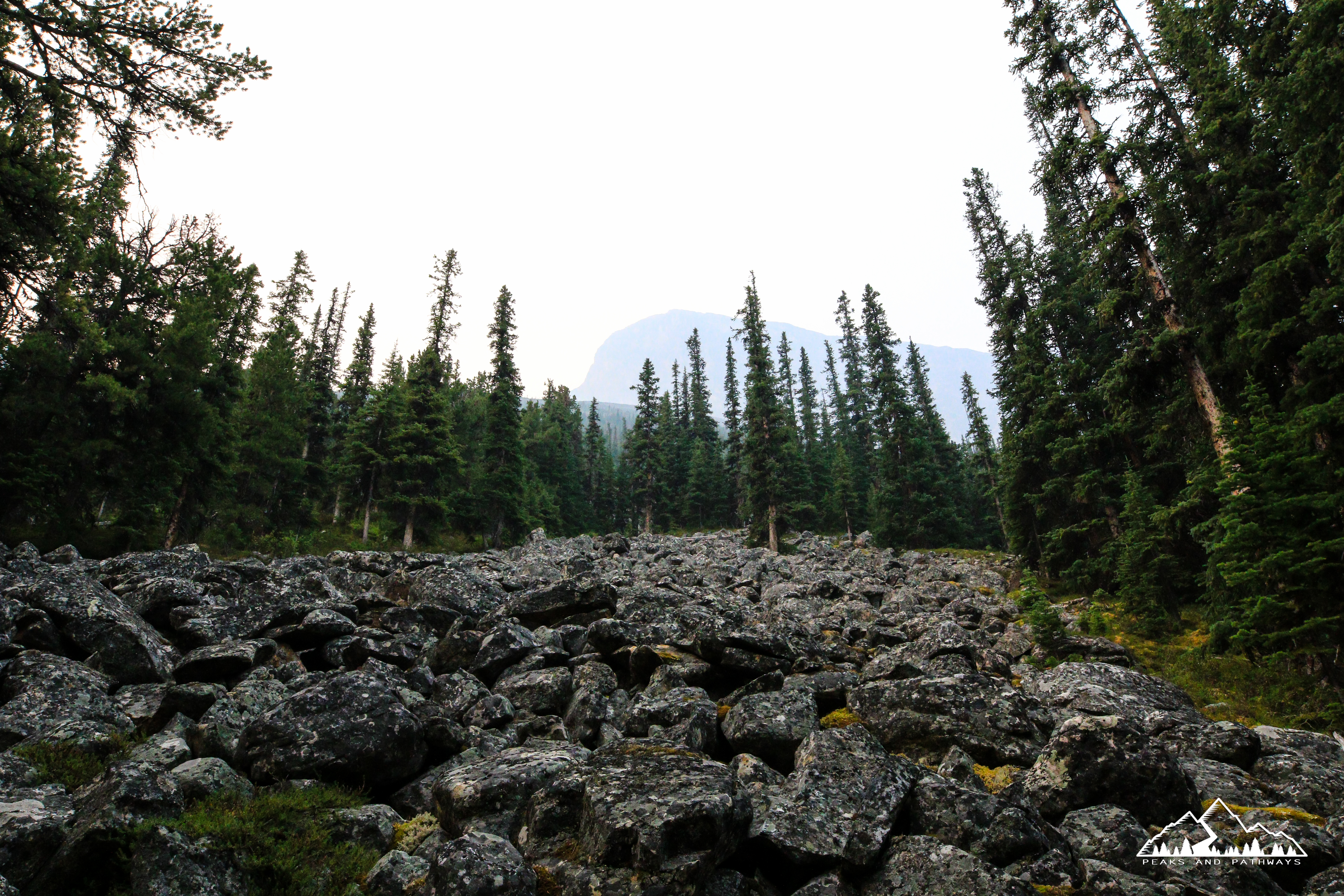
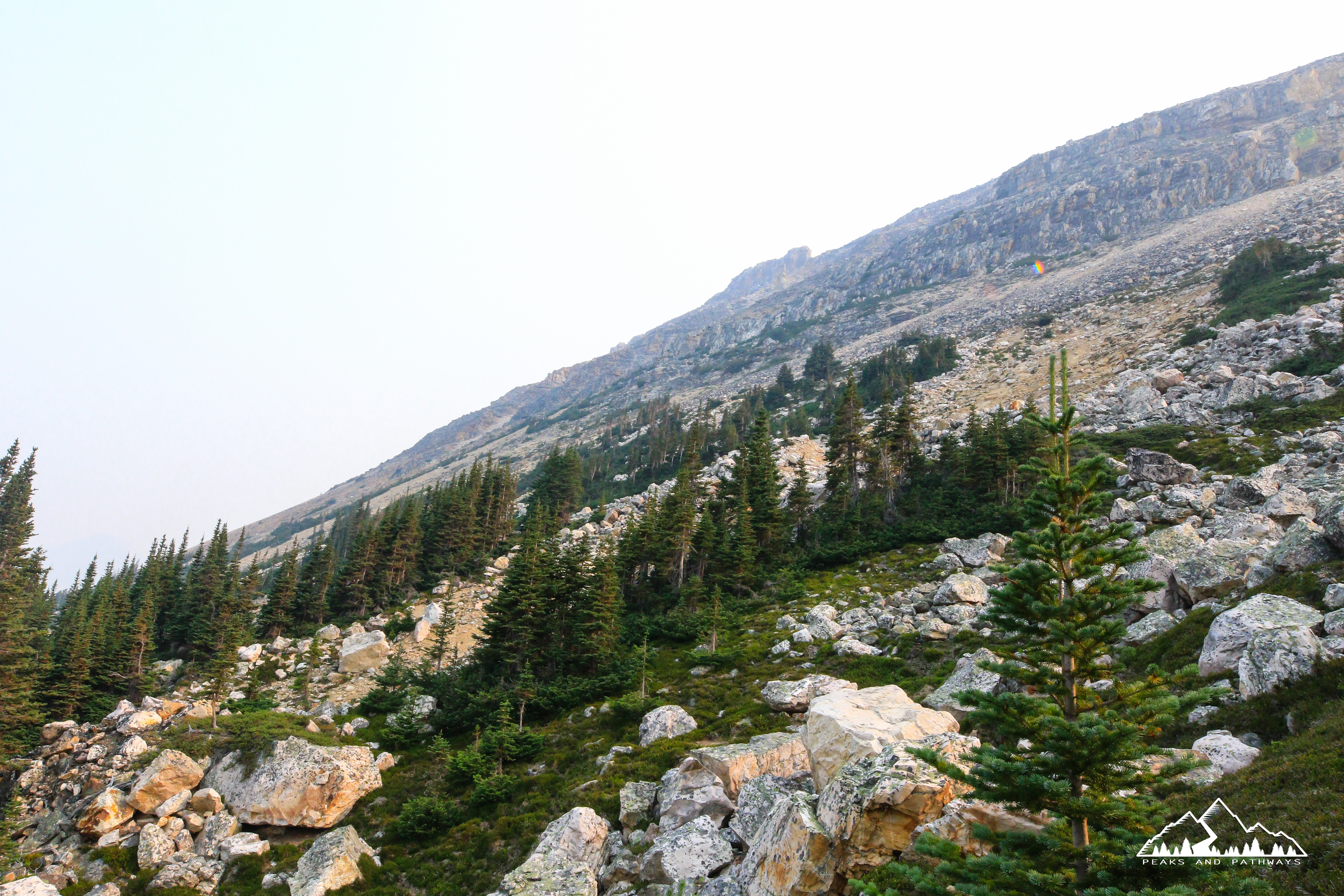
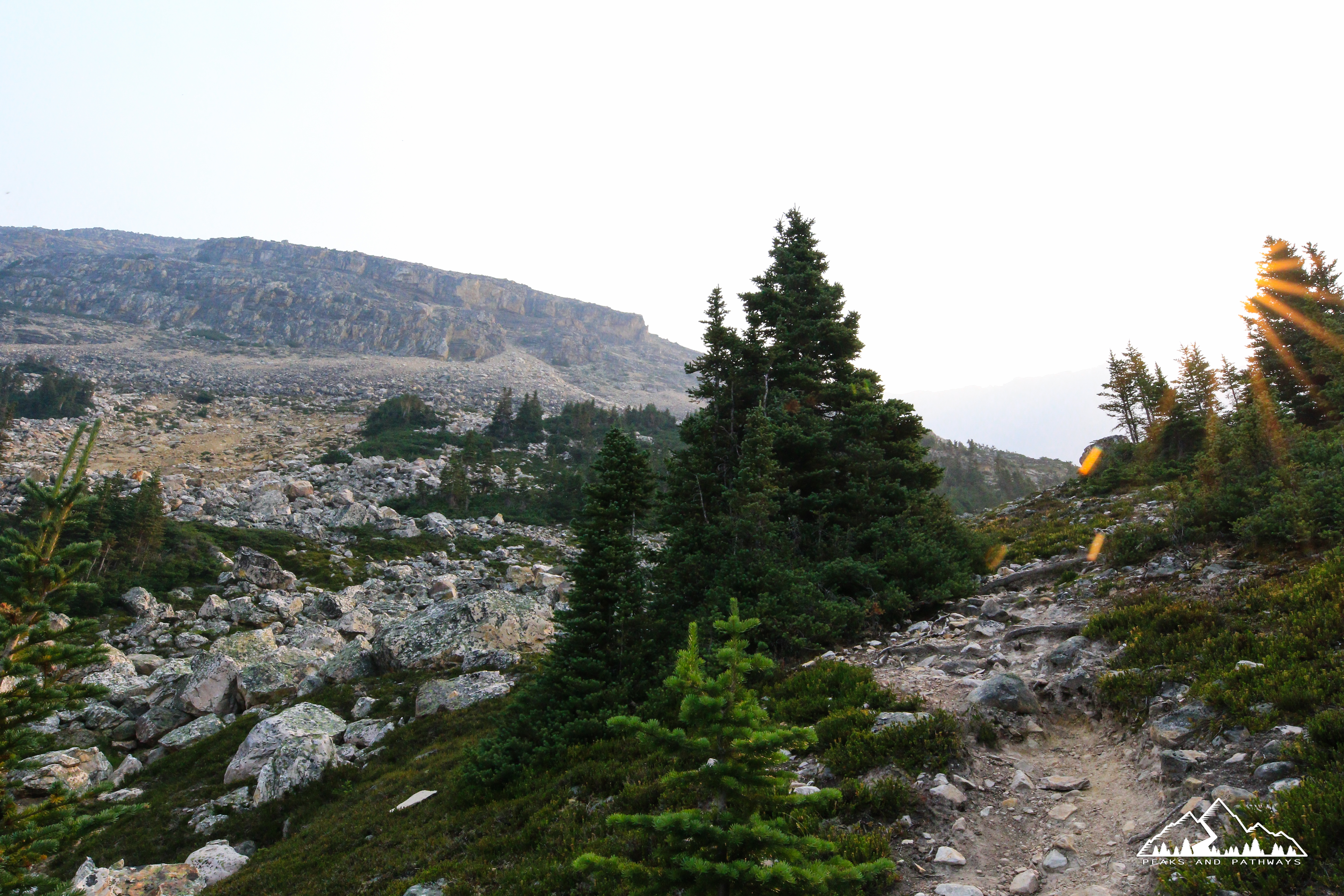
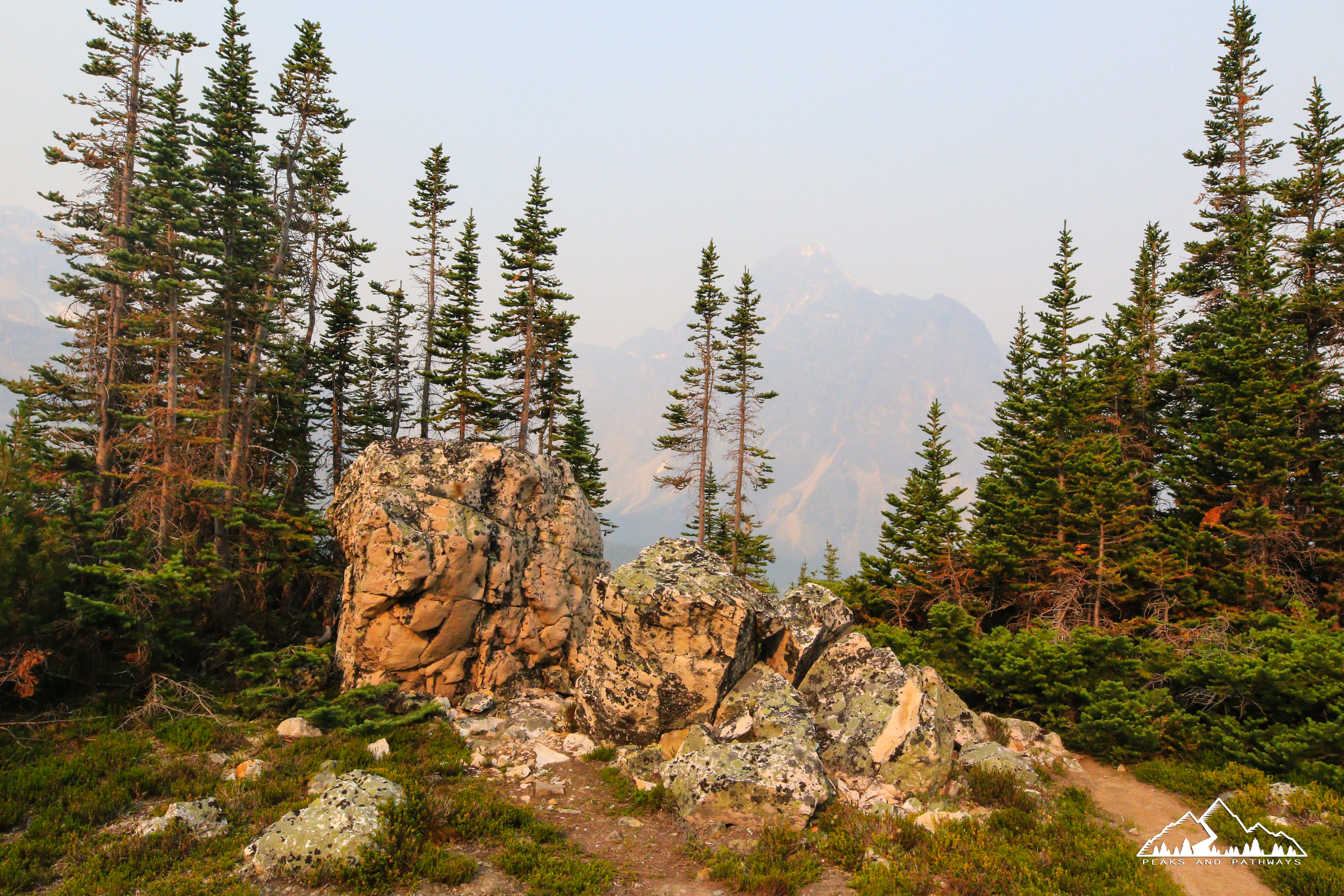
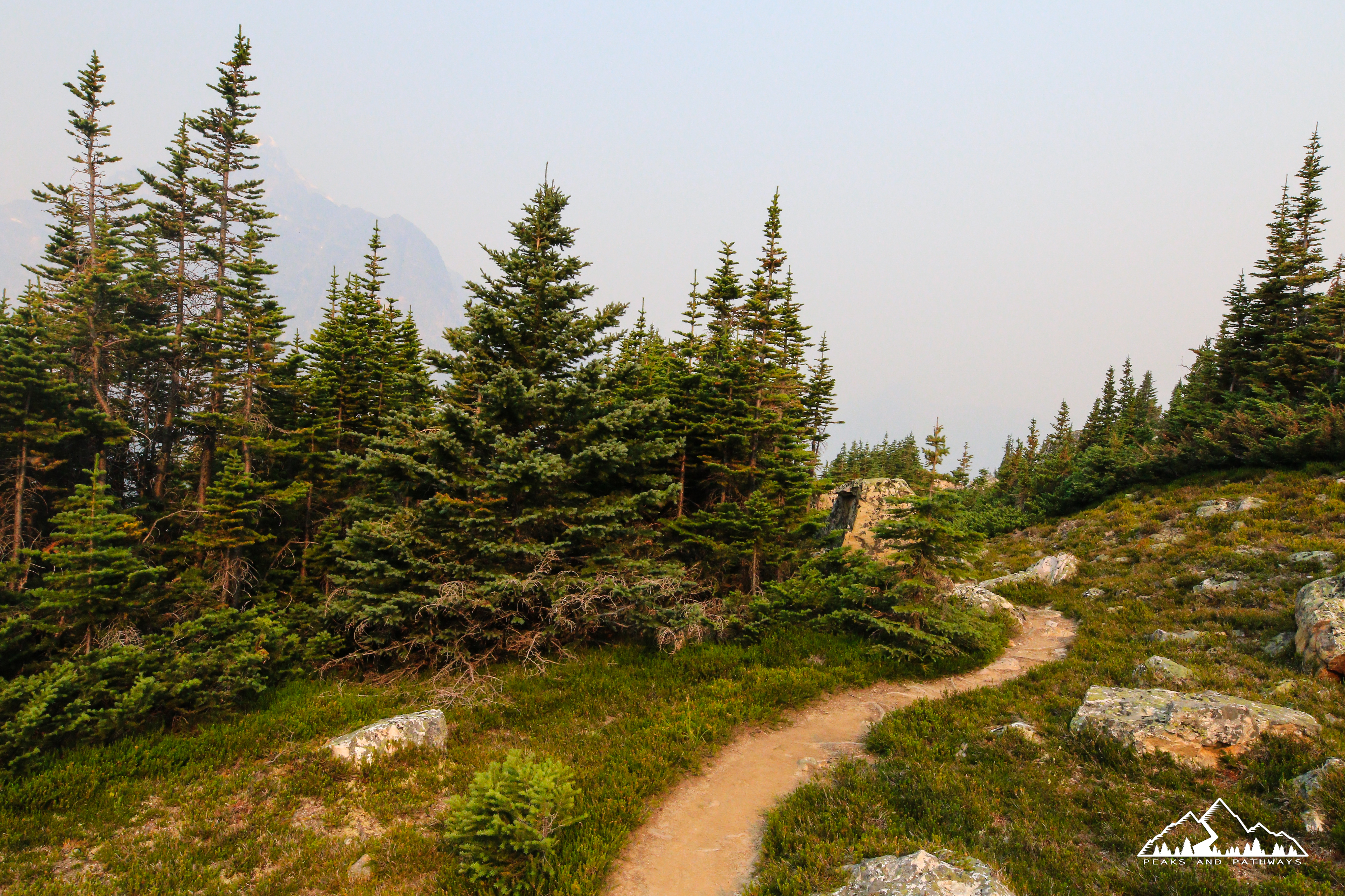
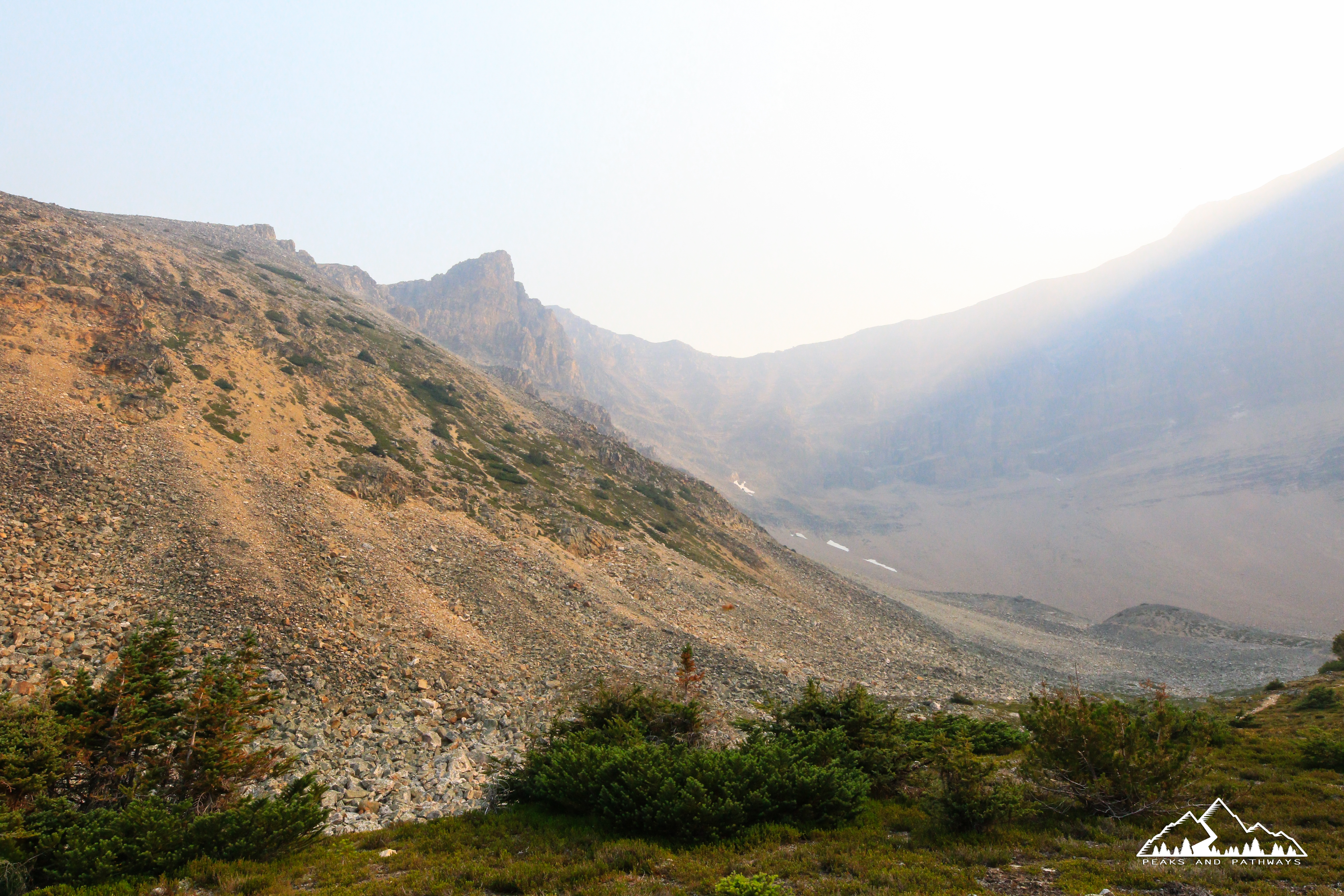
The first 4.5km is an easy warmup, along the Tonquin Valley trail, and it is around this point that you begin looking to your left, where you will branch off and begin your ascent to the pass. It was a well-defined area, including a makeshift sign indicating that this was the way to Verdant Pass. We encountered no one during our hike to the top, after venturing off the Tonquin Valley trail towards the pass, and ended up having the entire alpine meadow all to ourselves throughout the entirety of our visit. Three small groups were encountered upon our descent, and this was one of the busiest Saturdays we’ve ever seen in Jasper National Park. As this portion of the trail is not maintained, there are many creeks flowing through the dense thicket you find yourself in as the ascent begins, as well as fallen trees, areas where the greenery almost closes in on the hiker, lots of roots and portions of the trail with an abundance of black-flies and mosquitoes. Bug spray, sunscreen and bear spray are all key for this hike. It was about 4km of hiking upwards through this wooded area, before it opened up and we began emerging from the tree line to some spectacular views of nearby mountains like Chevron and Throne.
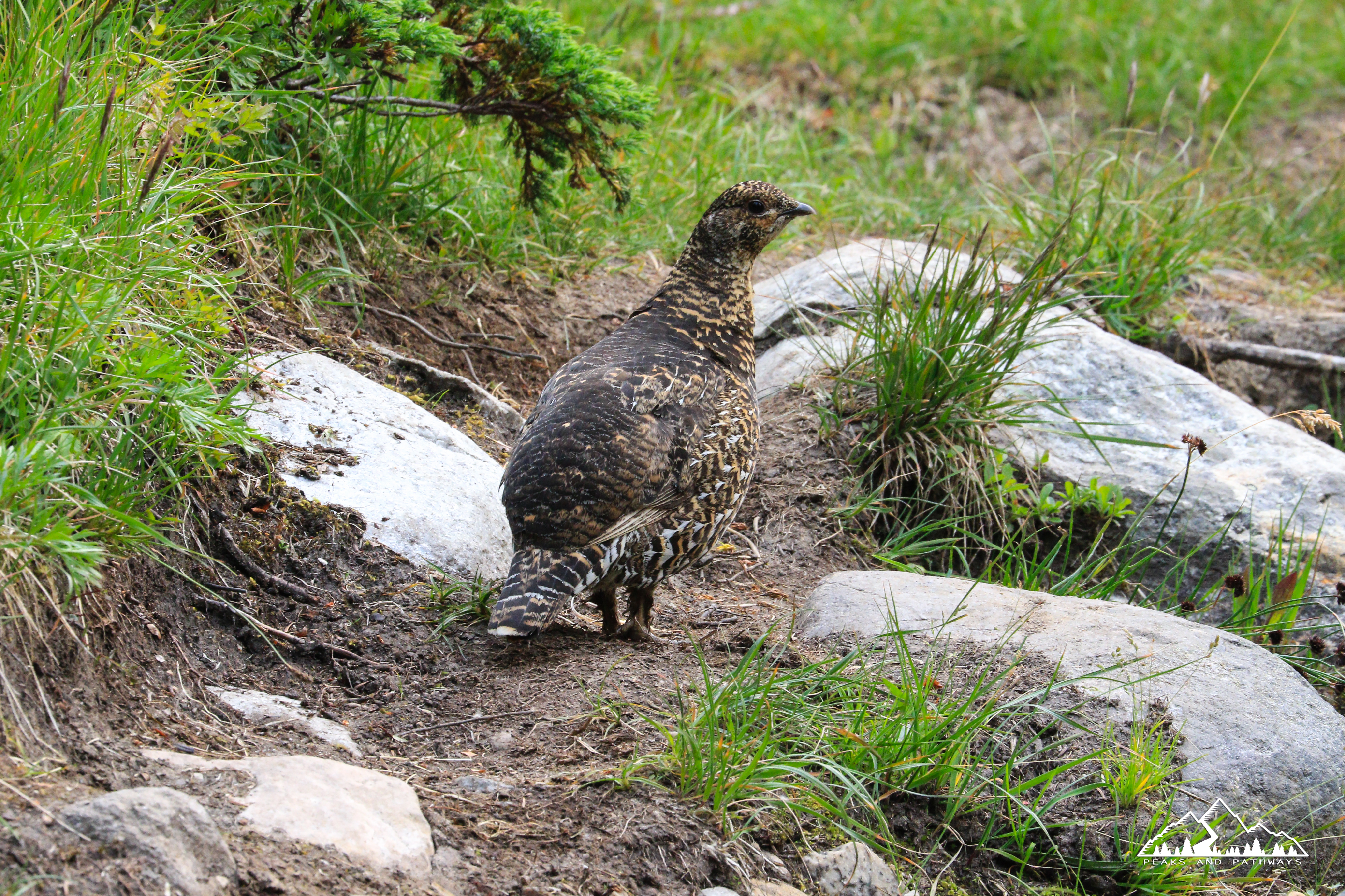
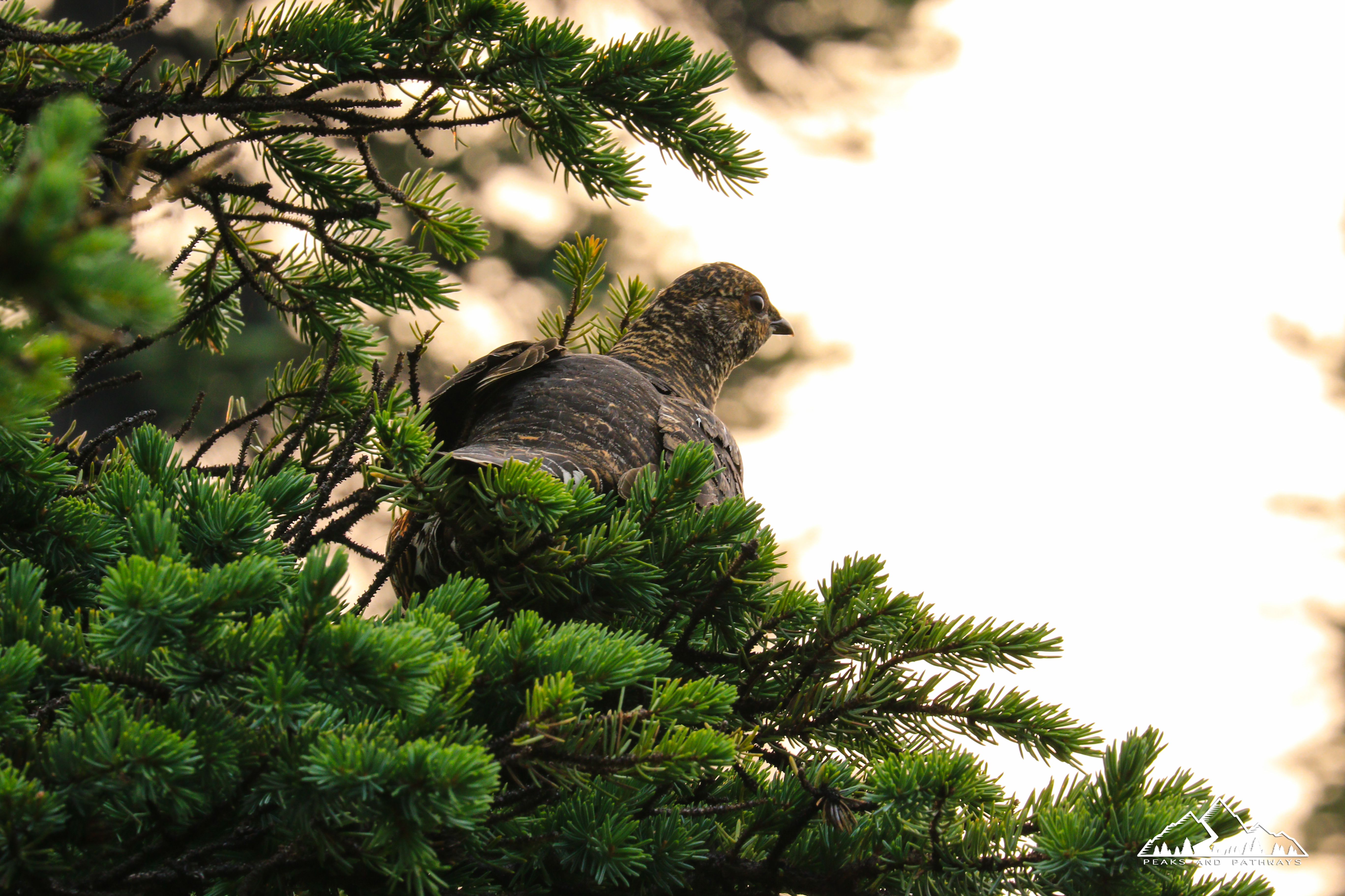
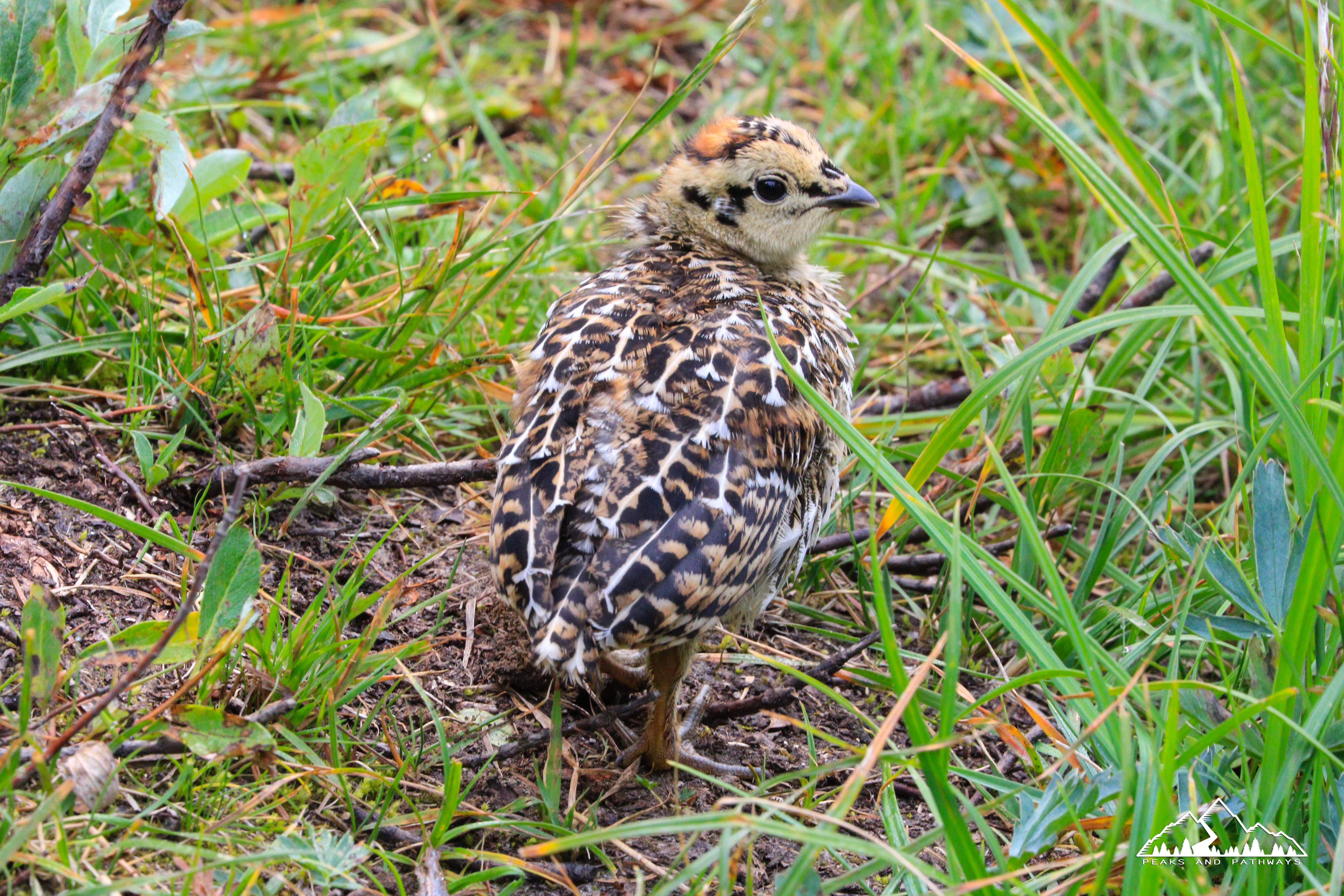
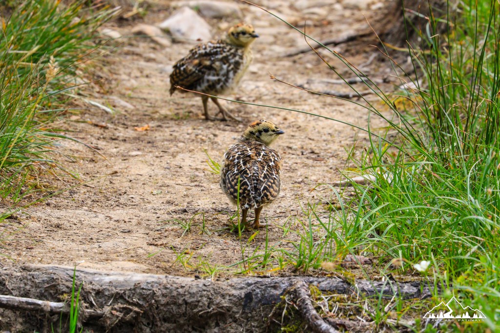
On this trip, wildlife encounters included the largest marmots we’ve ever seen and a wide variety of birds, including a mama grouse and six chicks that we observed from a distance for a few minutes while they grazed along the trail. Once mama jumped in the tree and started making the occasional gesture that we may have overstayed our welcome with her new family, we moved past them, but they were so cute.
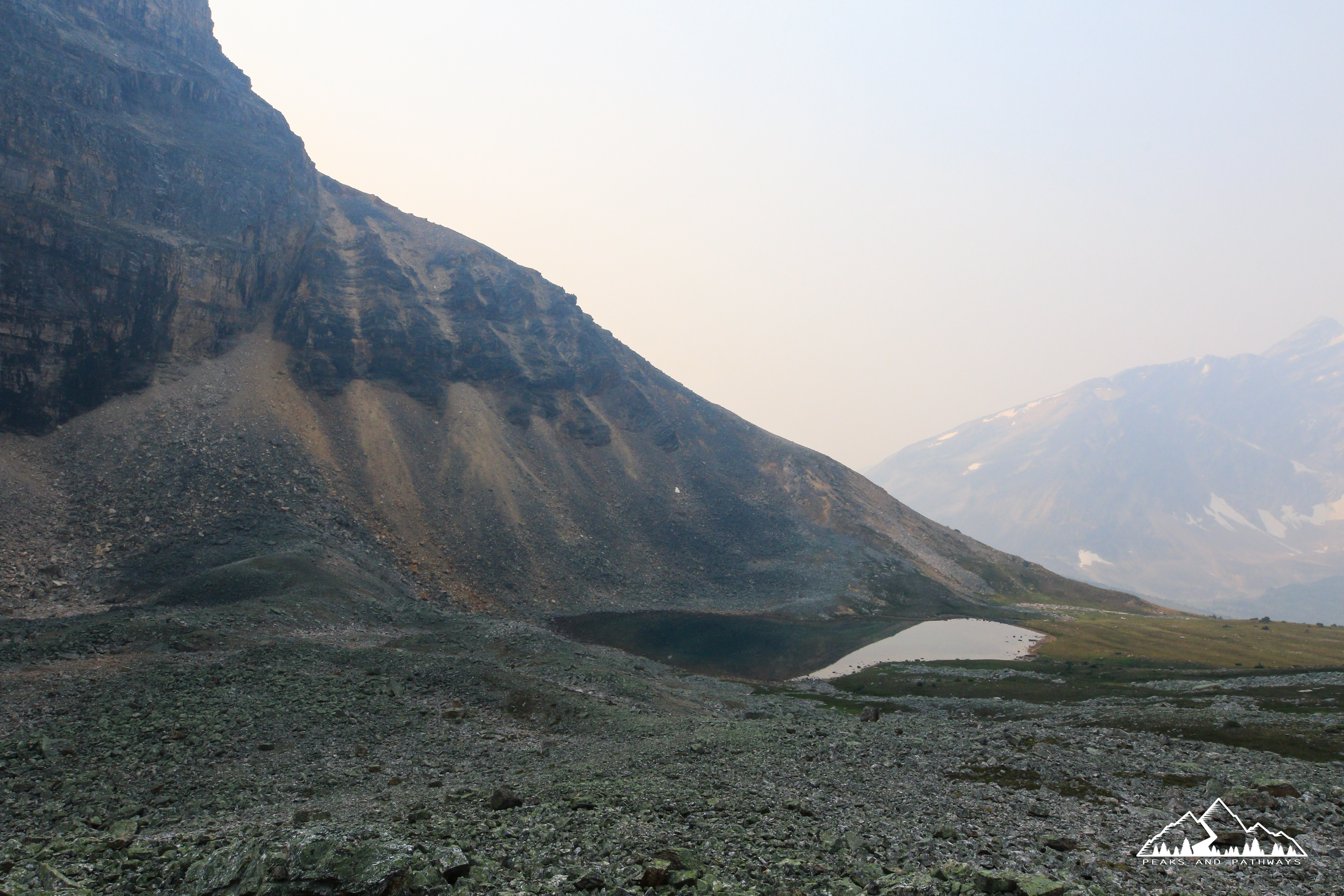
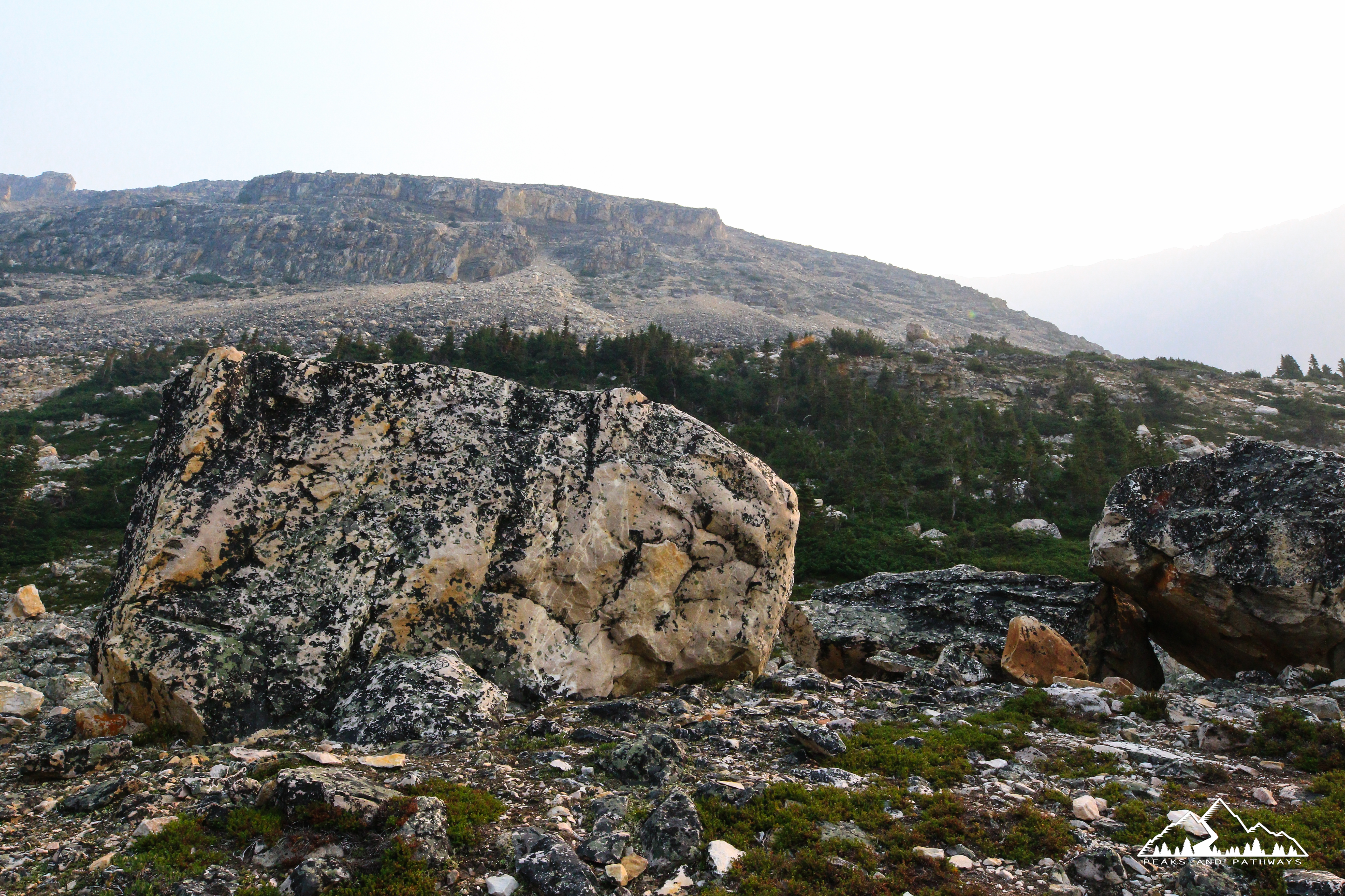
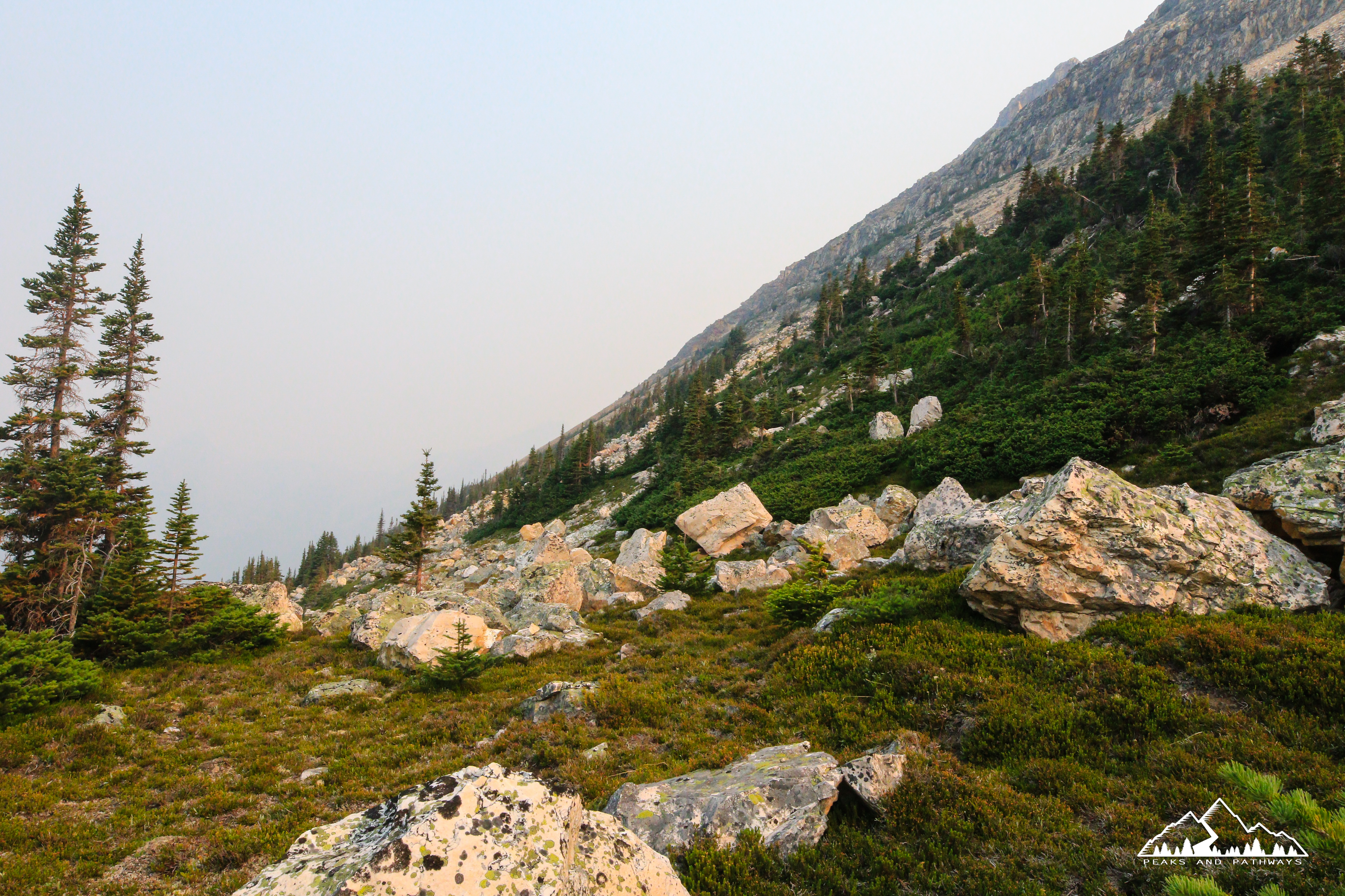
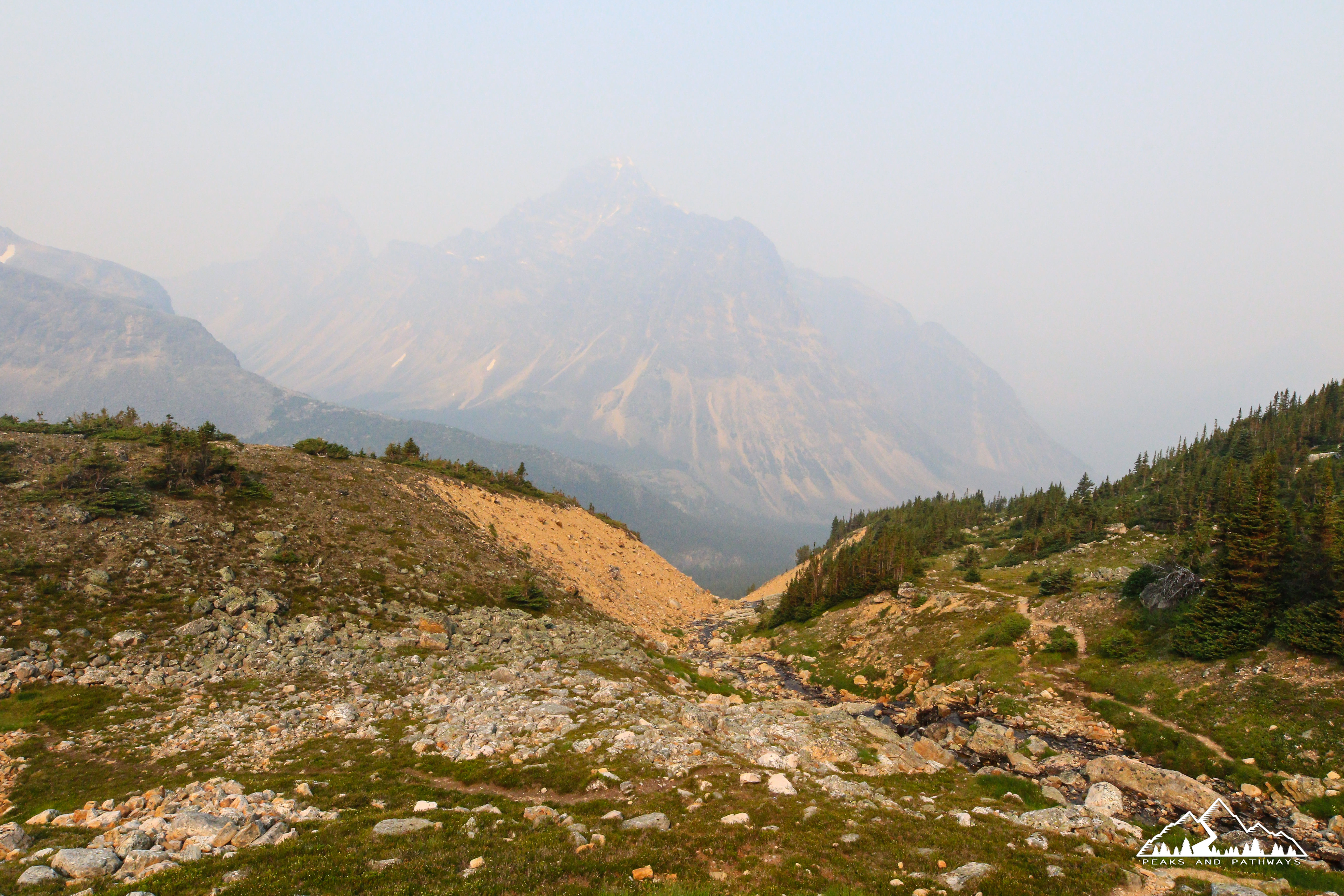
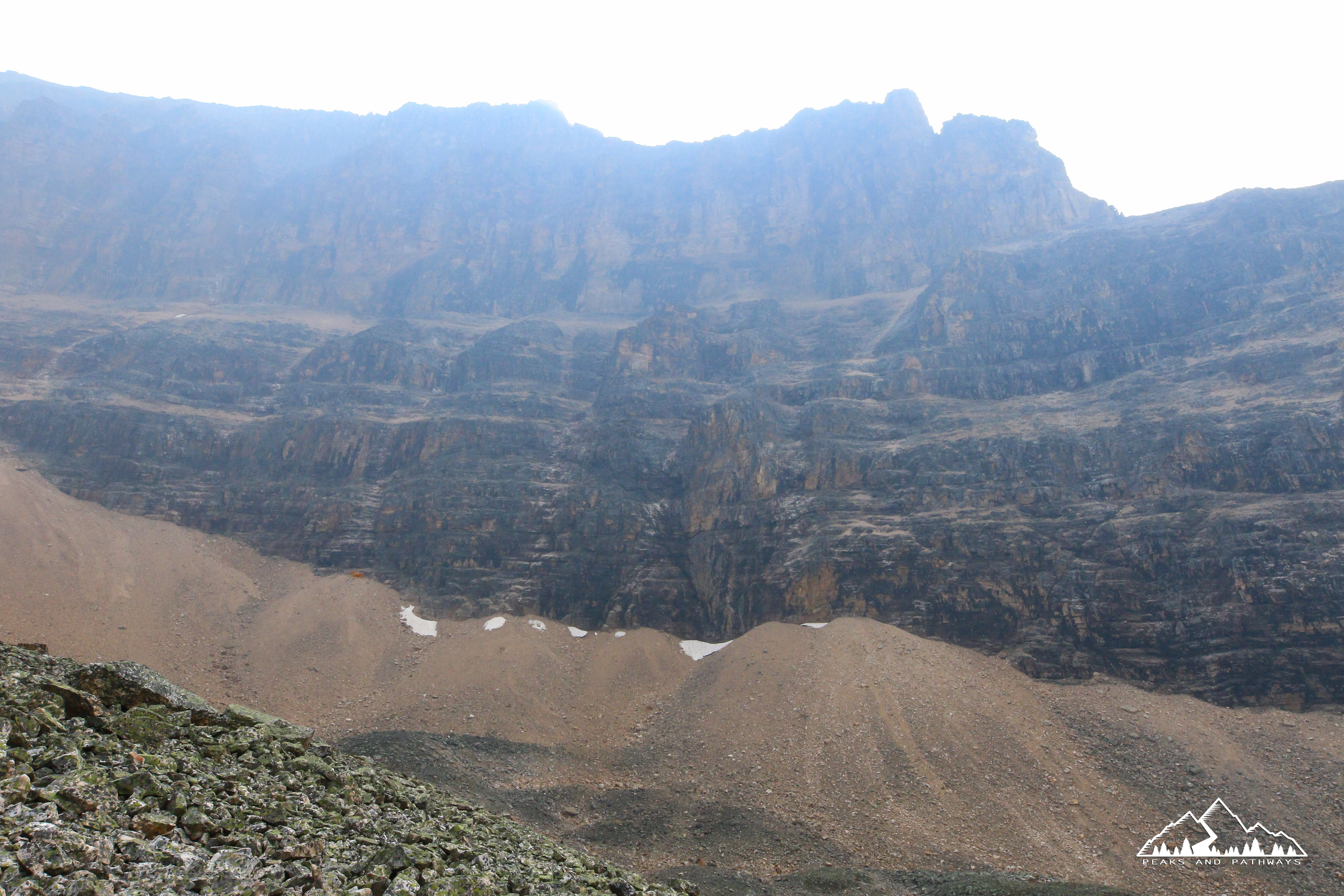
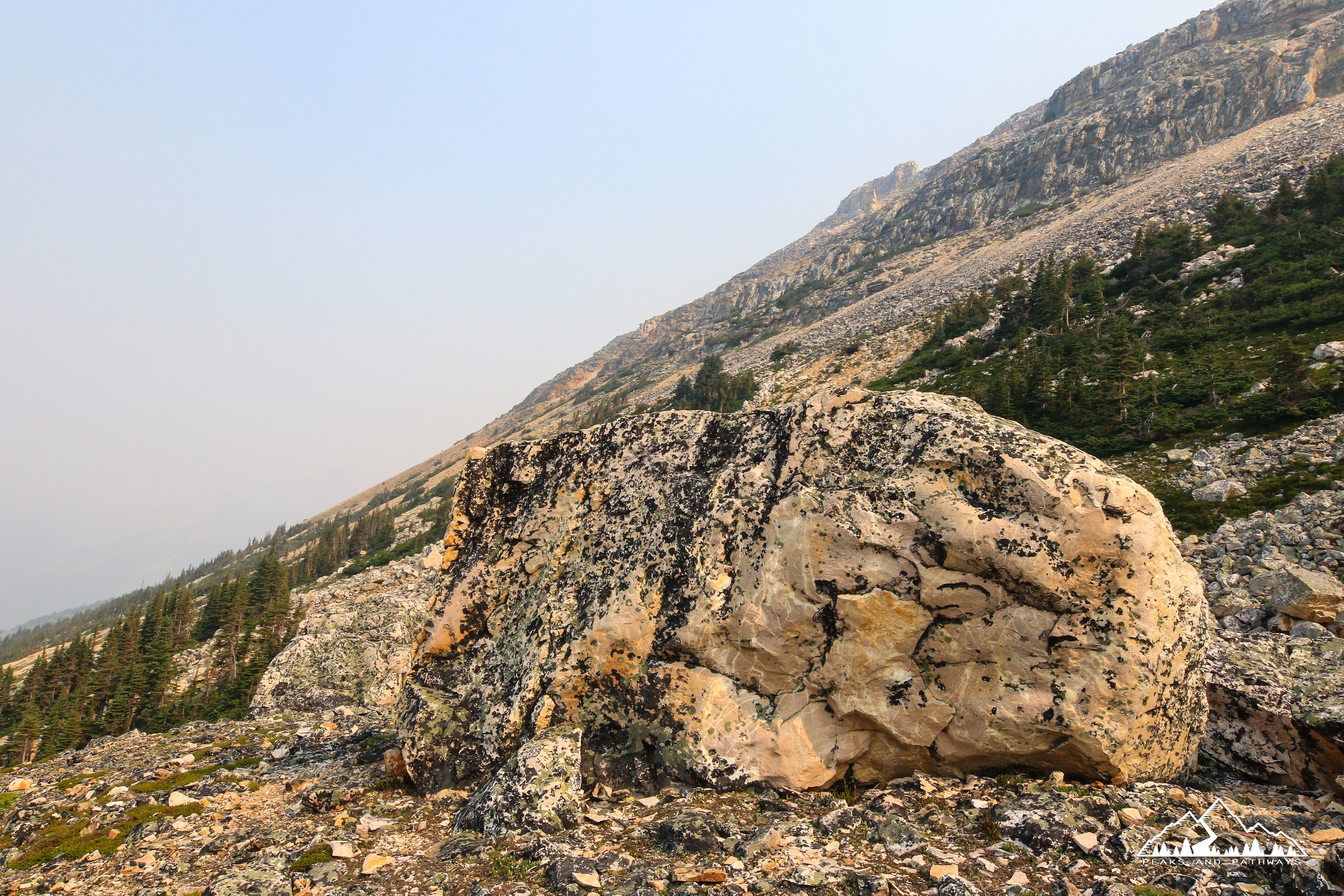
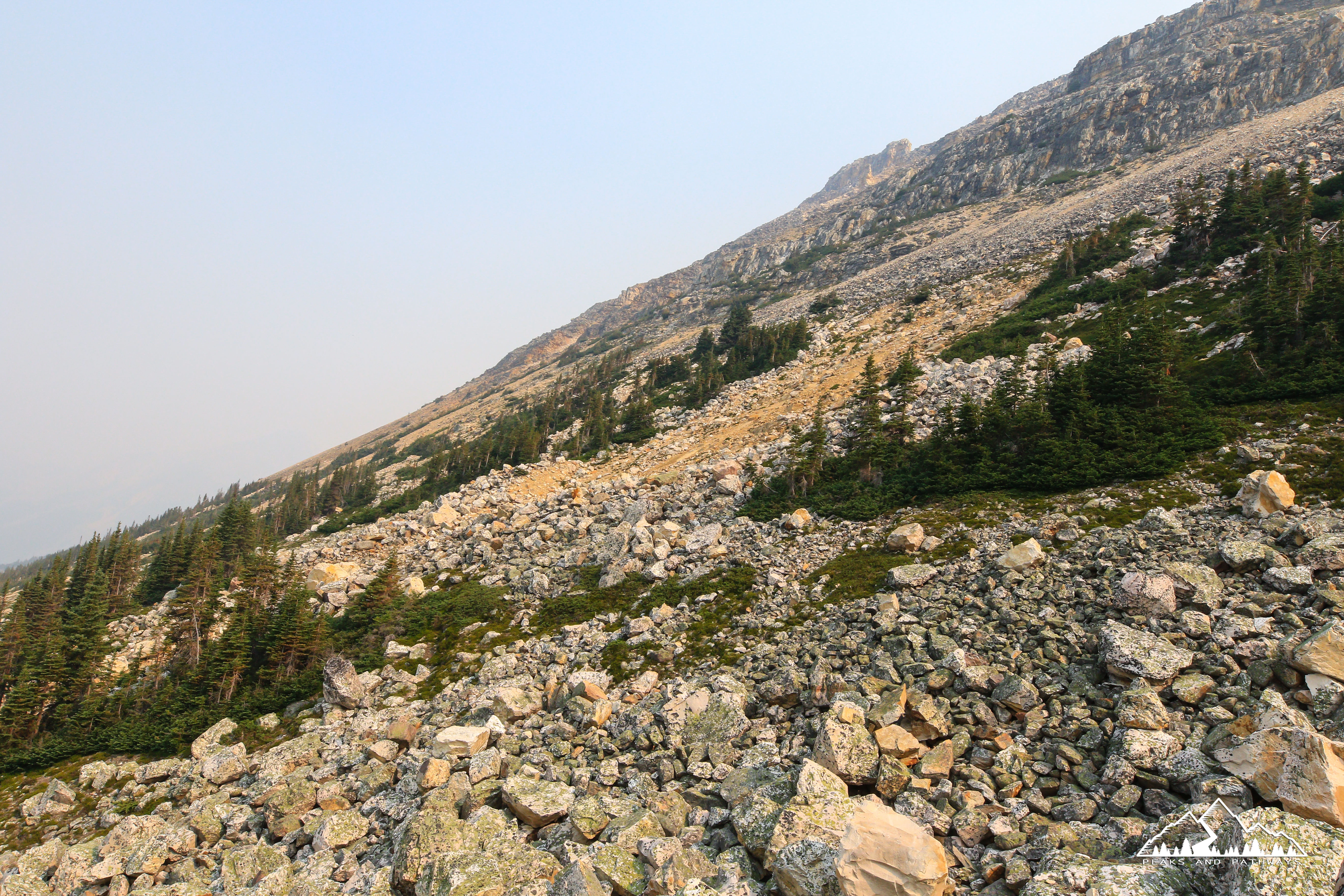
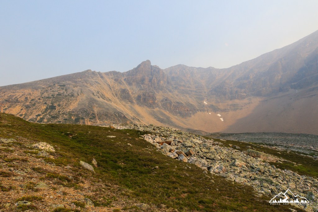
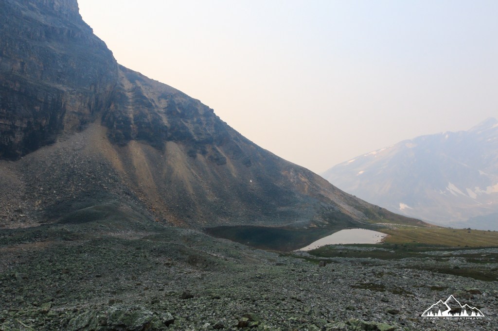
The natural amphitheatre provided by the backside of Edith Cavell mountain is a sight to behold, and after a moderate ascent requires one last challenging push before this final reward. Beyond the rock fields, including boulders the size of houses which have crashed down from the mountains above, there is a really steep ascent up loose rocks, dirt and what must be nearly a 100-150m elevation gain over a seemingly very short distance.

As mentioned, smoke from wildfires was affecting visibility in the area, and like British Columbia, Alberta had a very dry season as well, and the trail was probably a lot dryer on our hike than others have experienced. This perhaps also affected the size of the very small tarn we encountered at Verdant Pass. Either way, lunch was served here, in a true Canadian paradise: a couple slices of jerky, big fat juicy orange, some pistachios and a tab of grape electrolytes topped off with fresh glacial water.
Once you’re done taking it all in, you simply turn around and return to the trailhead the exact same way you came. It is a pleasurable hike to a remote location that will definitely give your legs a good workout, while rewarding you with scenes of the Canadian Rockies you will never forget. Check out the full gallery below and feel free to subscribe and share your experiences in the area by commenting!